
NOTAMS and Airspace
NOTAMs for today – quick links to popular sites and downloads.
Scroll to end of page for downloadable Airspace, RA(T) and NOTAM files.
NOTAMs – on line resources..
UK NOTAMs for the next 7 days updated once per hour. Map can display all NOTAMs. Select the day and max height. Switch filters on and off to quickly view different NOTAM types. Create your own account, but the map works well without registration. Extensive HELP available on this site.
Sky Demon is “paid for” flight planning software with very good NOTAM plotting. This software will also display NOTAMs/RATs with the correct boundary shape. There used to be a free version, SkyDemon Lite, but this has been discontinued.
The Asselect website NOTAM menu item has options to download a .PDF map tailored to XC gliding. The map is available for Today and Tomorrow and only shows the most significant NOTAMs for cross country pilots. This map does not include every NOTAM, for instance items such as cranes, or closed runways, are usually excluded from the Map. ALL NOTAMS are, however, listed in the text. Asselect can also be used to generate airspace files for Flight Computers and PC Flight Analysis software.
AIC – Aeronautical Information Circulars. These documents detail important temporary airspace changes. NOTAMs will often cross refer to a Mauve or Yellow AIC. You can find the original AICs on this NATS website. The chart (map) for a Restricted Areas Temporary (RAT) is usually on the las page of the relevant AIC document. Generally you will read that an AIC is “active” in a NOTAM, note down the reference number and then search for the AIC or Briefing Sheet on this NATS webpage.
Rota showing when UK Firing Ranges are active. Mainly used for Otmoor and Barton Stacey. The corresponding NOTAM is generally active (Summer 2024) so assume that the range is active if you haven’t checked.
Not an official NOTAM source, use the website links above for NOTAMs and RAT AICs. However, this free air displays site gives the Red Arrows display schedule and also plots the positioning flight and flypast routes (once they are known) from the NOTAMs. Rarely inaccurate. and updates with last minute changes, but check official sources.
Soaring Pilots Intelligent NOTAM Editor. This free utility/app is great if you regularly review most NOTAMs and will keep your own up to date file with NOTAM changes. You can view NOTAMs once, and remove from future viewing any NOTAMs that will never affect you. For instance, you could exclude all NOTAMs more than 300Kms from Booker and switch off a local night time laser display, you will not see those NOTAMs again. There is also an Android version of SPINE, this can also export data to XCSOAR. Needs some perseverance and familiarity to keep up to date.
Same site as Red Arrows above. Not an official NOTAM source, This site includes a link (on the blue menu bar at the top) to an annual list of all UK airshows. Handy to find out what is going on at a NOTAMed site, just don’t click on the adverts!
Airspace files in .cub format for downloading to Oudie, LX, XCsoar etc
Press button to download an airspace (.cub) file. These files have been created using AsSelect and SeeYou as a helpful resource for club members. Compromises are made when creating and displaying airspace files. In addition, there are many ways to configure the files for personal preference.
Things that all of these files have in common.
-
All files are in .cub format (OK for SeeYou, Oudie, Navigator, XCsoar, LX9xxx etc)
-
All files cover entire UK up to FL660
-
Radio Frequencies are appended to the Airspace Name as well as in the “Frequency” field.
-
GVS, HIRTA and tall obstacles are usually included.
Airspace file – Mar26airspace27032026.cub created March 2026. entire UK from JohnO via WhatsApp. All of UK with airspace heights overlaid inside areas. Includes Fairford 8nm TMZ.
Airspace files – AsUK2026-03-19_BOO.cub & .txt created March 2026. .
Use the .CUB file for LX Nav Flight Computers.
Although the .CUB file will work, the .TXT file is better for XCsoar.
All main airspace types (ie, Class A, Class D, RMZ etc) included and labelled as expected by most Flight Computers.
– HIRTA/GVS set as “Restricted Areas” although the restriction is up to the pilot to decide!
– Obstacles/Danger Areas/PJ DZs as “Danger areas”.
– Gliding Sites as “Glider Sector”,
– ATZ Airfelds as “Control Zone – Class D”
– Non-ATZ (1 nm radius) and Microlight (0.5 nm radius) airfields as Class F, NOTE many Microlight airfields are unsuitable for landouts.
– ILS Feathers as “Class F”.
– MATZ and NOTAMS as “Other” in .CUB file. NOTAM in .TXT.
– Danger areas and DZ active by NOTAM as “Other” in .CUB file.
– NO competition exemptions are included.
– Includes March 2026 Fairford 8nm TMZ
The following additional/optional are included for Booker Club Pilots.
– Wycombe ATZ Split into Gliding (Glider Sector) and Power (1600Ft ATZ)
– Otmoor and Barton Stacey Firing Range NOTAM areas added as “Other”/NOTAM.
– NIGHT Comment added to Night time FL55 airspace near Denbigh.
– Aboyne FL195 – FL245 Wave Box & Scottish airway crossings included as “Glider Sector”, Only active when notified by Deeside GC..
– Aboyne Local FL100 NSGA NOTAM area added as “Other”/NOTAM
– Deeside Royal Estate Local LOAs as “Glider Sector”,
– Overlays – Airspace Altitude, ATZ and DZ overlays included. Disable Class B Airspace Display on your device if you do not want to see them.
– Wycombe ATZ Airspace overlay removed to remove clutter.
NOTE, Upper Scottish Wave Boxes (above FL245) and wider area Scottish FL100 NSGA and NSGA NOTAM areas are not included, Easier to stay within!
Ensure all airspace categories above are set to display clearly on your device.
NavBoys provide a zip file each year with airspace, flight level overlay, waypoints and a ReadMe file that explains how to load Oudies.
Important considerations when viewing these airspace files.
-
If using a file with a text overlay of airspace flight levels, they will be displayed using your device’s settings for Class B airspace.
-
Any airspace defined as Class G or MATZ will appear as the “Other” airspace type on Naviter systems (SeeYou, Oudie, Navigator).. Ensure this airspace type is enabled and set to display in a visible colour.
-
If you use Airspace files downloaded for gliding competitions the configuration is likely to be different to ensure penalty areas are handled as required.
-
Parachute DROP ZONES (DZ) – do not enter – are categorised as DANGER AREAS. Other danger areas may be accessible when not active. Check the details for Danger Areas before entering.
How are airspace files interpreted and displayed.
There are many different flight planners, flight computers and systems that can display airspace. These systems are sold throughout the world. Airspace is not the same in every country. Sometimes there is a compromise when using a generic system to display the different types of airspace applicable within a country. There are also several programs that can be used to generate airsace files, multiple file formats in use and ambiguities within those formats. It is easy to display airspace, but the specific airspace limitations may sometimes only be determined by reviewing your chart. If you use Naviter or LXnav software you may find many airspace types categorised as “Other”, there are also add on Apps that provide NOTAM and Airspace layers. If you use XCsoar you may find airspace types change depending on the file format you are using.
Flight Computers – Airspace type visibility and colours.
Most modern flight computers allow airspace types to displayed in colour, and to be enabled and disabled as preferred. In general it is safest to have every type enabled, and to select a colour and line thickness for every airspace type that is easy to see in sunlight (or cloud), If the airspace files used do not support some airspace types then nothing will display, so no need to disable. If airspace types change, or are introduced, you are less likely to miss them.
Nearly all flight computers have reasonable default settings and one soon gets used to them. Most differ in their choice of colour, line style and configurabiliy. If you decide to change consider using a consistent theme that makes sense to you.
One option is to copy the colours on a half mil chart, though this makes a lot of airspace colours the same, and you may need to use different line styles. For line styles you could consider solid for lines that you cannot cross and dashed or dotted lines where you need radio. One example for colour groupings, Red or Mauve for airspace where gliders are not allowed, Blue for areas only accessible after permission or ref to other info – ATZ, NOTAM etc, Green for special gliding places, Wave Boxes and Gliding Sites, for Wave Boxes you may need to ensure that the box is visible behind any coinciding airspace lines.
It is easy for it to get over complicated, and/or for the display to become cluttered with too many colours.
.The .pdf file above has a table showing how UK airspace types, used within the format called OpenAir, are handled in Naviter/SeeYou products such as the Oudie. You DO NOT need this information to use the files, however, it may help if you see confusing airspace types. Download the .xlsx to create your own version.
.This Google Spreadsheet (under revision Mar 2025) is an updated table showing how UK airspace types created in Asselect are handled in Naviter/SeeYou/LXnav products such as the Oudie/Navigator. You DO NOT need this information to use the files, USE WITH CAUTION to understand how your files work. Download in your preferred format to create your own version 🙂
Flight Computers – Airspace warnings.
Most modern flight computers will give a warning as you approach airspace. In general these should be defaulted to ON. Warnings should only be disabled if you know all of the airspace types that fall in that category and you are happy you do not need an audible warning. Wave Boxes may not require an audible warning. It is also usually possible to disable airspace blocks and warnings during flight when required.
Validating and checking airspace files.
The .pdf file above is a table listing examples of airspace types, and where the airspace can be found in the UK. You can use this table to check off each of the common airspace and information types that might (or might not) be included in your airspace files.
Individual RAT files in .cub format for downloading to Oudie, LX etc
You can click the links or the grey buttons save each and/or all of these .cub airspace files to your flight computer and, to reduce clutter, only activate on days when the RA(T) or NOTAM is active.
Important Disclaimer !!! The files below have been created using multiple unofficial on-line resources. These resources are generally reliable, however, errors do occur. You MUST Ensure that these files display airspace in accordance with your requirements and/or the latest published NOTAM or AIC chart.
RA(T)s will usually be displayed with active date shown in the airspace description.
Each .cub file ONLY includes the RA(T), so must be used in addition to your normal airspace files.
RAT(s) IMPORTANT NOTES – This is NOT A COMPREHENSIVE list of Restricted Airspace, Temporary or otherwise. Just a useful facility for club members supporting the more significant RA(T) events. For a comprehensive and definitive list refer to the day’s NOTAMS and the NATS AIS link button above. The RA(T)s will be coded for display in flight computers as Prohibited Areas.
RAT Files created in 2025
RAT Files created in 2024
NOTAM files in .cub format for downloading to Oudie, LX etc
Files for NOTAMs that regularly occur. The area referred to in these NOTAMs will USUALLY be for the the same location and dimensions each time so AS LONG AS YOU ENSURE NOTHING HAS CHANGED, you can reuse the NOTAM file.. Save each and/or all of these .cub airspace files to your flight computer and, to reduce clutter, only activate on days when the RA(T) or NOTAM is active.
Scroll UP for RAT files.
.
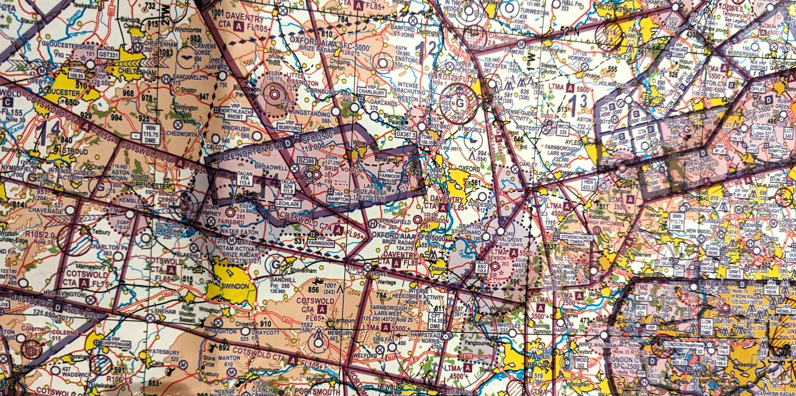
Temporary CTR and CTA around Brize/Fairford/Kemble
NOTAMs are often raised for short duration activation of Temporary Class D airspace. These are usually associated with special flights into Brize or Kemble and last for only an hour or two.
NOTAMs may include one or more of the following temporary changes.
- Temporary “airways” above FL075 adjacent to lower CTA/CTR NOTAMed changes. NOTAM FILES NOT PROVIDED, DON’T GO ABOVE FL075!
2. Temporary expanded Class D CTA in two areas from 4000 AMSL to (CTA1 FL095 and CTA2 FL105).
3. Temporary expanded Class D CTR from Ground to (CTR1 4000ft, CTR2 5000Ft).
4. Lifting the existing Brize Zone above 3500 AMSL (eg to 4500 AMSL or more).
5. Increasing the Radius (5nm) and height (4000 MSL) of Kemble ATZ.
.
Firing Ranges
Note heights raised in 2025, Otmoor 1500 ft AMSL, Barton Stacey 1600 ft AMSL.