
Weather forecasting
Use the buttons below to open the websites as described in the text. If you like any of the sites then save as a Favourite in a grouped “weather” tab in your browser. This page provides an overview of some of the popular forecasting websites. See the “Weather – Booker today” page for key weather info for today embedded on a single page.
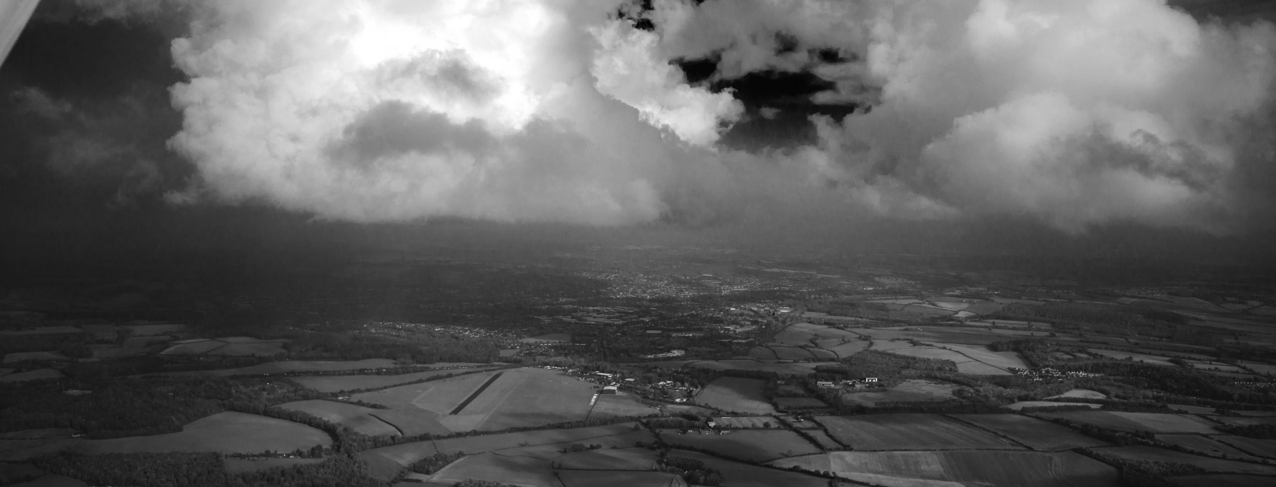
General weather forecast and pressure chart synopsis.
The UK Met Office have some very expensive computers and skilled presenters. The latest forecast for the UK is always available on this videos page and updated at least twice a day. The forecaster will often indicate how much uncertainty in the forecast. A good place to start and decide what to look at next, for example, if they say no rainfall then probably no need to look at the rainfall radar..
The synoptic chart will show whether we are under the influence of high or low pressure and the proximity of any fronts. Generally, the lack of any nearby fronts is good. Passing fronts will cause a deterioration in the weather, but there will often be good soaring weather behind a cold front. The location of fronts can be confirmed on Sattelite Images.
Met office Weather Warnings. Avoid thunderstorms, gales, heavy rain and hail storms.
Forecasts specifically for UK aviation from the Met Office. Known as the 214 and 215 forms. To access this site you need to create a free account and log in. The 214 form shows wind at different heights and is useful for Wave prediction. The 215 will show any significant changes in weather between areas of the UK and indicate how quickly any fronts are moving.
TAFs are created by aeronautical meteorologiy specialists at airfields around the UK. METARSs are sometimes automated. This website provides decoded METARs and TAFs that are easier to understand, Luton airport publishes TAFs 7 days a week. Benson only publishes on weekdays.
PS …..
Meteorological Aerodrome Report (METAR), also known as Meteorological Terminal Aviation Routine Weather Report = actual weather at the location.
TAF = Terminal Aerodrome Forecast – forecast for the next 18 hours.
This MeteoBlue meteogram gives a good picture of Cloud cover, cloudbase, rainfall, whether the pressure is rising or falling and other parameters. A meteogram provides a graphical time series diagram showing how the weather will change during the day, but only in the specific location chosen. The MeteoBlue website offers many other free forecast options
Atmospheric Soundings – Windy Skew T Chart (Tephigram) for Booker. NOTE; you may need to install the Windy Sounding Plugin for this link to work.There are a few sources for Skew T diagrams, The Windy presentation allows variation of the temperatures on modelled sounding data You can select different forecast models. Change the time using the bar at the bottom of the map. See below for a link to Skew T training material.
RASP Atmospheric Sounding meteogram. After the page has opened click on the “Get Results” button. This provides a view of atmospheric sounding data expected through the day at a single location and provides a more engaging way of showing clouds, thermal height, temperatures, air mass stability and wind. Needs some study, but this can be quicker than reviewing individual SkewT diagrams.
Rainfall detail and cloud radar
The UK Met office rainfall radar..
SAT24 HD satellite images for UK.
Gliding guru forecasts.
Some gliding club weather experts publish their own forecast. Note that these sites are far enough away from Booker that they may not be accurate for our local area, but close enough to help if you are planning a cross country flight.
At Lasham, expert forecaster and XC pilot David Masson regularly publishes a forecast on his website SoarMet. This includes an outlook for a few days ahead and tries to highlight any good XC days.
At Dunstable, expert forecaster and gliding god Phil Warner publishes a forecast on the London GC website. Usually only on soarable days.
Comparisons and ensembles, is anybody ever right!
There are many different weather forecasting computer models. The Windy compare facility shows how strongly the different forecasting models agree, or disagree. Button has a link for Windy five day forecast comparison at Booker.
Meteo Blue also provides free model comparisons and ensemble forecasts. The ensembles enable one to gather together all of the most optimistic forecasts into a single optimistic forecast. link to the three day multimodel forecast for Booker airfield.
Soaring forecast sites
None of these sites are 100% accurate, it is a forecast. However, they make it quick and easy to assess the forecast soaring prospects across a large area. Each site has a different method of presentation.
RASP – Regional Atmospheric Soaring Prediction FREE!
This fantastic resource set the standard for Soaring forecast sites. The map view will show thermal strength, cloudbase, rain etc and it even offers a simplified “Star Rating” map to show where the good bits are. It is also possible to get SkewT diagrams and detailed spot forecasts for specific locations (by BGA Waypoint). It uses the GFS forecasting model.
Meteo Blu AIR, Soaring and Thermals Forecast.
TopMeteo.
Very clearly displayed hour by hour soaring prospects and maps showing potential flight distance in different parts of the country. Can be integrated into SeeYou. Does not provide SkewT diagrams.
SkySight.